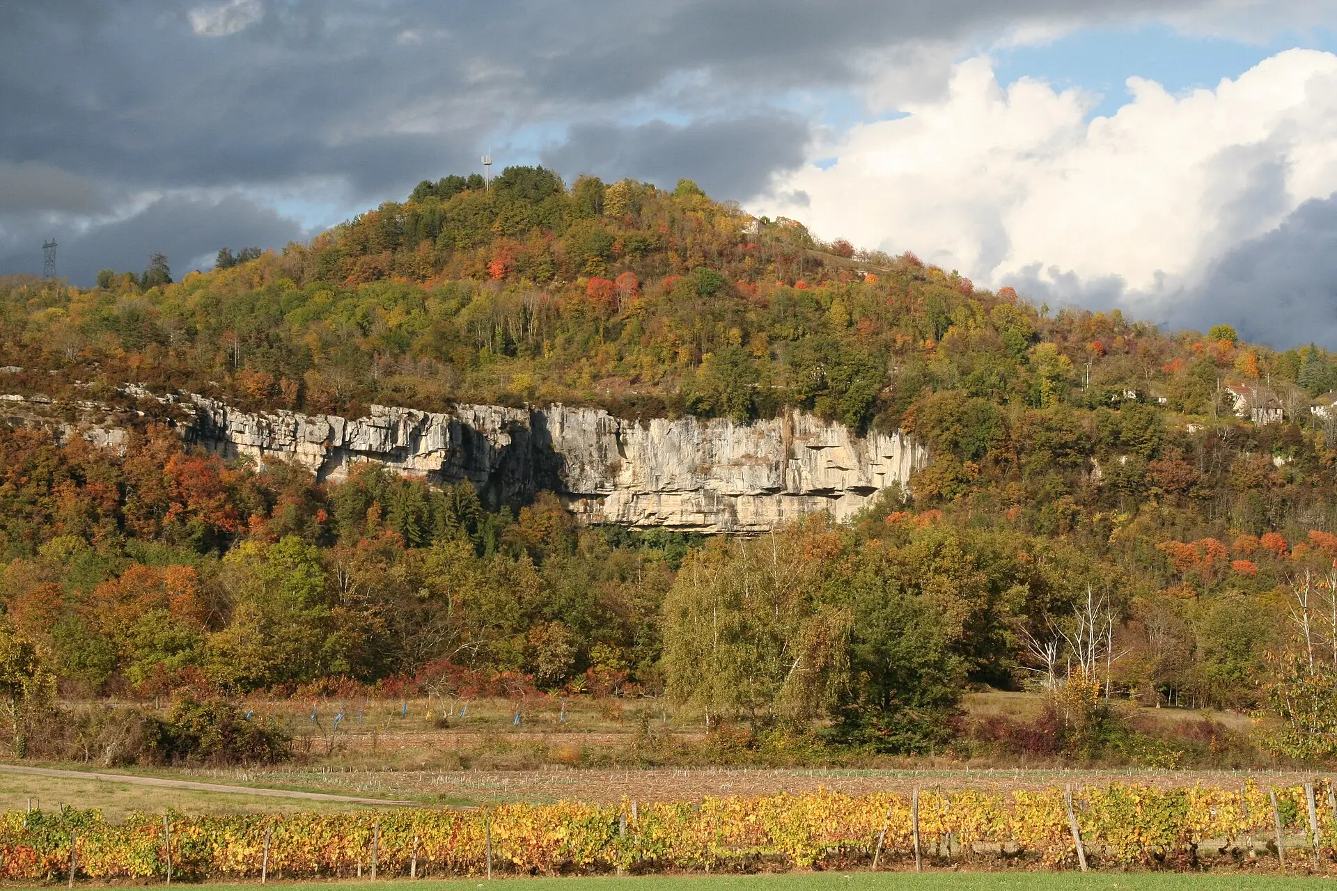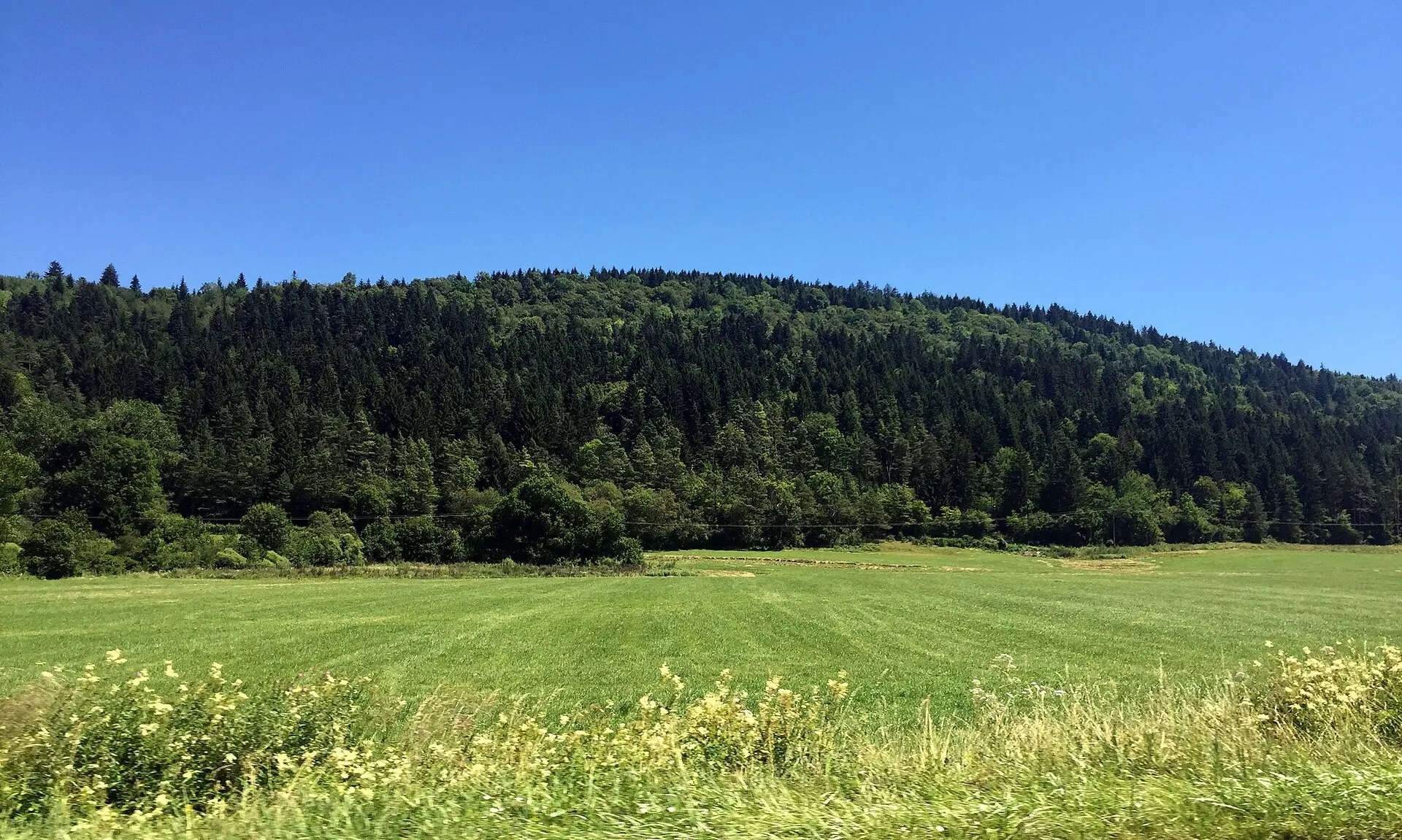
Between the River Rhône and the ridges of the Jura mountains, Southern Bugey (Bugey Sud) and the Valromey pack very different landscapes into a small area: waterfalls over limestone, lowland marshes, a lake, a cross-country ski plateau and mountain forest. Most of these sites are protected, and each has its own rules. This page covers the seven sites we have documented, with what you need to know before you go.
The area’s highest point, the Grand Colombier, has its own section: our Grand Colombier guide covers its altitude, its roads, its winter closure and the rules on the mountain pastures.
The sites, one by one
Cerveyrieu waterfall
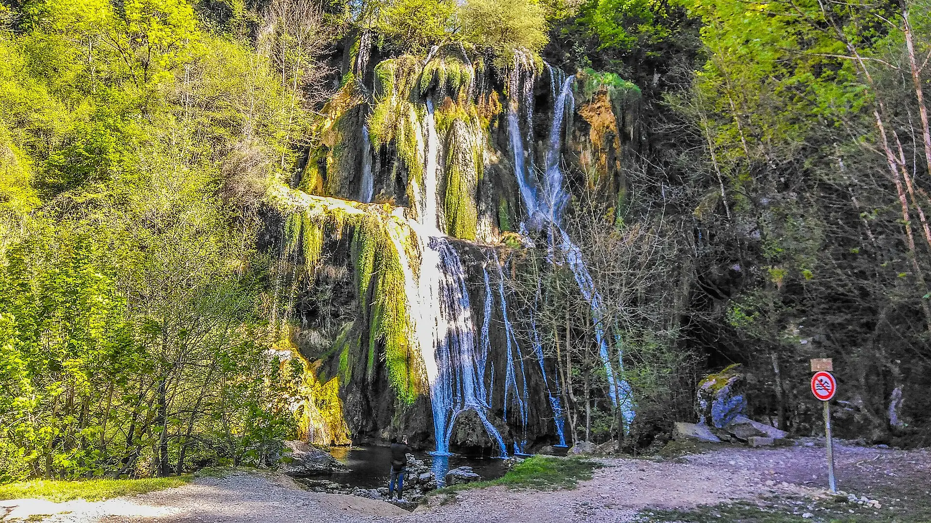
In the commune (municipality) of Artemare, the River Séran drops about 60 metres above the hamlet of Cerveyrieu. The site has been an Espace naturel sensible (a protected natural site managed by the Ain department) since 2017. The falls can run dry in summer, so spring or a spell after rain is a better time to come. Swimming and picnicking are banned along the Séran; dogs are allowed on a lead. Our page on the Cerveyrieu waterfall: access and rules also flags what the tourist office does not specify, such as parking.
Glandieu waterfall
In the south of the area, between Brégnier-Cordon and Groslée-Saint-Benoît, the River Gland falls more than 60 metres. The site was redeveloped in 2026, with a footbridge opened on 12 September. Parking is in one of the two car parks outside the hamlet. Dogs, swimming and picnicking are not allowed. Full details are on our page on visiting the Glandieu waterfall.
Lavours marsh
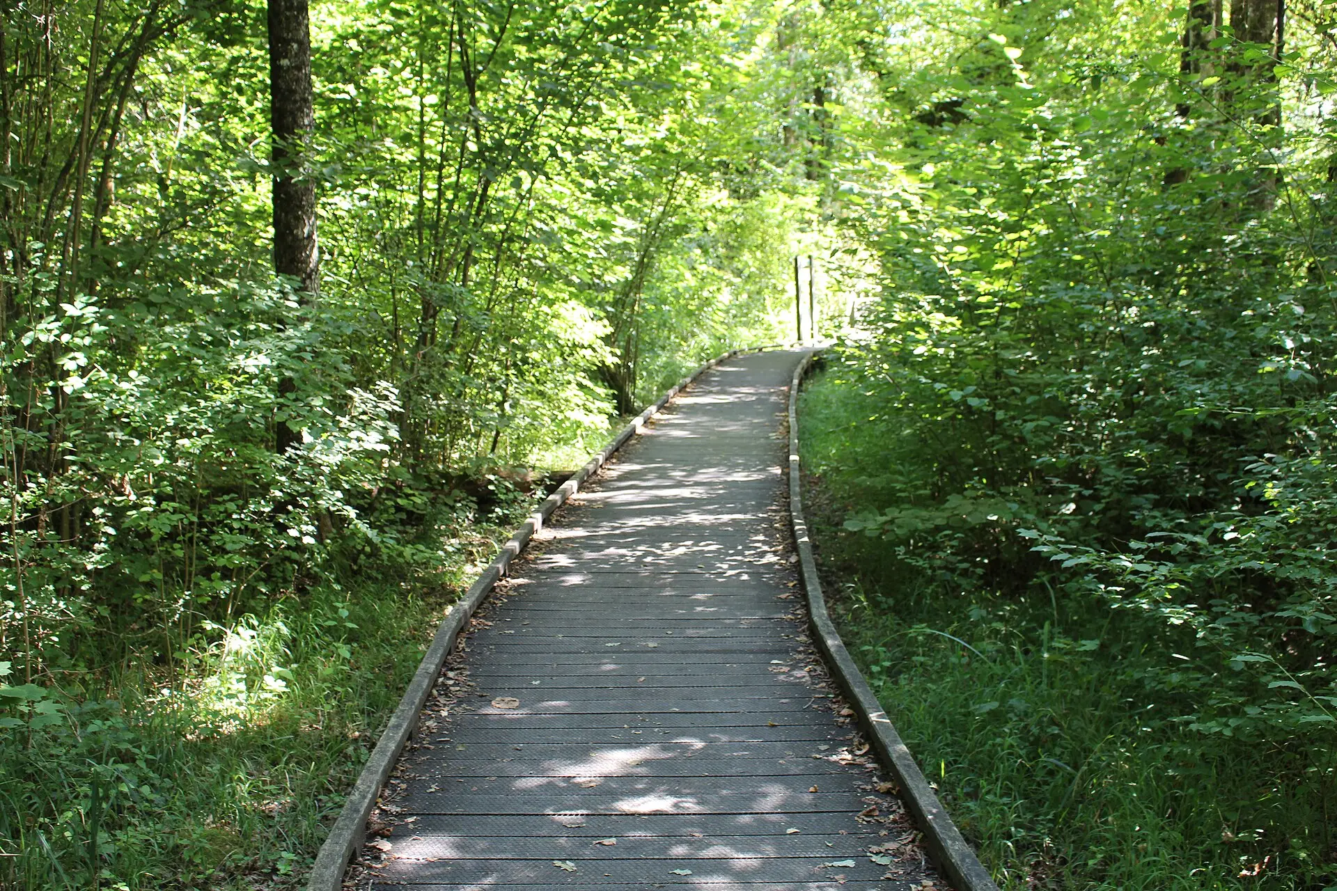
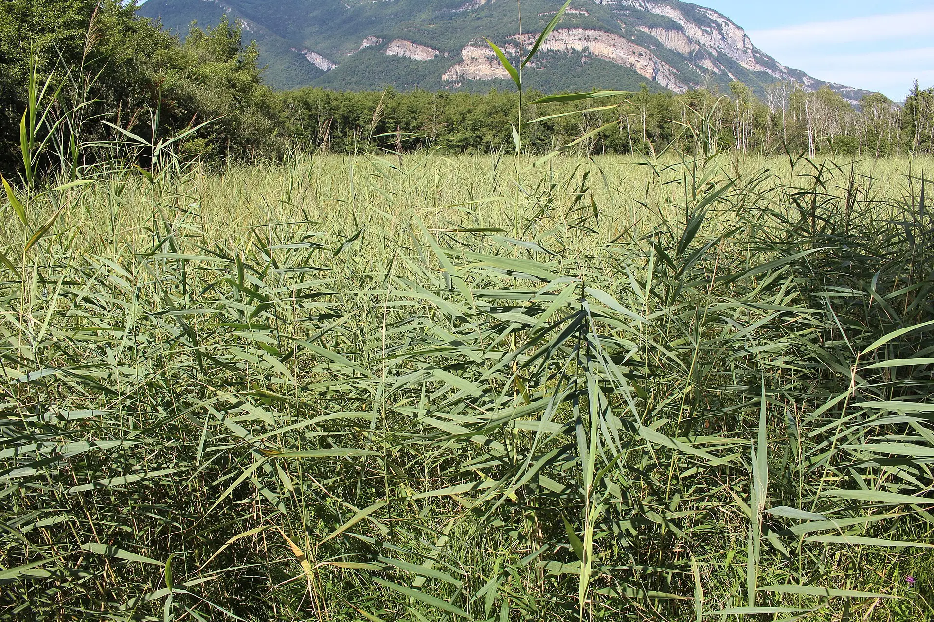
This is the only national nature reserve in the area, created in 1984 at the foot of the Grand Colombier. A free boardwalk trail on stilts crosses the marsh and is open every day except during floods; the reserve suggests allowing about 1 hour 30 minutes for the visit. Dogs are banned even on a lead, as are picking plants and camping. The Maison du marais (the reserve’s visitor centre) is closed until spring 2027. See our guide to the Lavours marsh boardwalk trail.
Retord plateau and Plans d’Hotonnes
In the north of the Valromey, the Retord plateau has more than 150 km of cross-country ski trails and 11 snowshoe routes, with three entry points including the Plans d’Hotonnes. The season is announced from 1 December 2026 to 31 March 2027, depending on snow. A pass is required for both cross-country skiing and snowshoeing. In summer, the plateau can be explored by mountain bike or on foot. See our page on Nordic skiing and other activities on the Retord plateau.
Lake Barterand
This small lake in Pollieu, an Espace naturel sensible since 2017, is the only site in this selection where you can swim: swimming is lifeguarded in summer, from the beach. Paddleboarding and canoeing or kayaking are not allowed. The lifeguard dates for next season have not been published. Our detailed page on swimming at Lake Barterand is currently available in French only.
ViaRhôna between Culoz and Belley
The EuroVelo 17 cycle route runs through Southern Bugey. The official Seyssel – Belley via Chanaz stage is 37 km long, just over half of it on roads shared with traffic. It passes through Culoz, which has a railway station, and close to the Lavours marsh; further south, it comes within a few minutes of Glandieu. Our detailed page on cycling the ViaRhôna in Southern Bugey is currently available in French only.
Arvière charterhouse
On the slopes of the Grand Colombier, above Lochieu, all that remains of the Carthusian monastery (charterhouse) founded in the 12th century are its foundations, which are listed as a historic monument. You reach them on the Sentier des Chartreux, a forest loop suggested by the tourist office. Published information is limited, and our detailed page on the charterhouse and the trail, which sticks to what can be verified, is currently available in French only.
Summary table
| Site | Commune | Type | Key rules |
|---|---|---|---|
| Cerveyrieu waterfall | Artemare | Waterfall, Espace naturel sensible | No swimming or picnicking along the Séran; dogs on a lead |
| Glandieu waterfall | Brégnier-Cordon / Groslée-Saint-Benoît | Waterfall, Espace naturel sensible, protected landscape (site classé) | No swimming, picnicking or dogs |
| Lavours marsh | Ceyzérieu, Culoz-Béon, Flaxieu, Pollieu | National nature reserve | No dogs, even on a lead; no picking plants, camping, fires or fishing |
| Retord plateau | Haut-Valromey (Plans d’Hotonnes) and neighbouring areas | Nordic area, Natura 2000 | Pass required for cross-country skiing and snowshoeing; dogs on a lead on paid snowshoe trails |
| Lake Barterand | Pollieu | Lake, Espace naturel sensible | Lifeguarded swimming from the beach in summer; no paddleboards, canoes or kayaks |
| ViaRhôna | Culoz-Béon, Belley, Brégnier-Cordon | Cycle route | Shared roads on part of the stage |
| Arvière charterhouse | Arvière-en-Valromey | Ruins in the forest, waymarked trail | Animals allowed according to the trail listing |
| Grand Colombier | Culoz-Béon, Arvière-en-Valromey, Anglefort and others | Mountain massif, Espace naturel sensible, Natura 2000 | No wild camping on the pastures; dogs on a lead; close gates behind you |
These are the rules published by the site managers or the tourist office, checked on 9 November 2026. Where a rule has not been published (dogs at Lake Barterand, or picking plants at the waterfalls, for example), our site pages say so.
How to behave in a protected natural area
According to Montagnes du Jura, the Espaces naturels sensibles of the Ain department are managed to preserve fragile habitats and are open to the public where that fragility allows. The rules differ between sites, but several instructions come up again and again in the official sources:
- Stay on waymarked paths: this is the rule posted on the Grand Colombier. At Glandieu, the new footbridge is also there to channel visitors and protect the habitats, according to the Communauté de communes Bugey-Sud (the local grouping of communes).
- Check the rule on dogs before you set off: allowed on a lead at Cerveyrieu and on the Grand Colombier, banned at Glandieu and in the Lavours marsh, even on a lead.
- Do not swim outside designated areas: swimming is banned at Cerveyrieu and Glandieu; it is only organised at Lake Barterand, from the beach.
- Do not pick anything: picking plants is banned in the Lavours reserve, and the tourist office’s walks page asks visitors not to pick wild flowers on the Grand Colombier.
- No wild camping and no fires: bivouacking is banned on the Grand Colombier’s pastures; camping and fires are banned in the Lavours reserve.
- Leave no litter: a published instruction for the Grand Colombier and a regulatory ban at Lavours.
- Respect livestock and fences on the mountain pastures, and do not enter shepherds’ huts, which are private.
These rules change: before each outing, check the official source cited on the site’s page.
Going further
Several of these sites are in the Valromey, the valley at the foot of the Grand Colombier’s western slope. Our page on the Valromey area introduces its communes and services. For sport on the Grand Colombier, see also our pages on cycling and hiking.