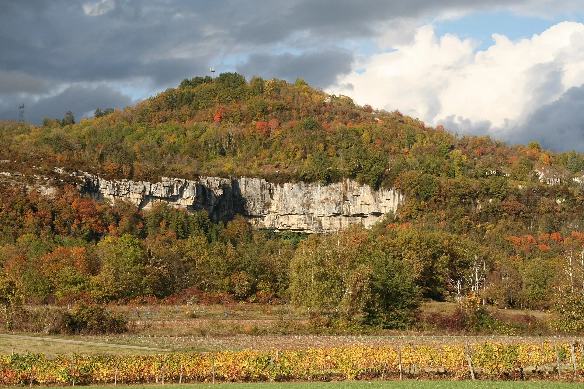

Among the natural sites of Southern Bugey and the Valromey, the Cerveyrieu waterfall is one of the highest: about 60 metres according to Ain Tourisme, the tourist board of the Ain department. It is formed by the River Séran, above the hamlet of Cerveyrieu, in the commune (municipality) of Artemare, in the Valromey valley.
Since 2017 the site has been designated an Espace naturel sensible (ENS) by the Département de l’Ain, the county-level authority. The label marks a fragile habitat, managed so that it is preserved and open to the public as far as that fragility allows. Here it comes with specific rules, set out below.
The photo on this page shows the waterfall site seen from the Fierloz plateau: you can see the wooded hill and the limestone cliff, not the falls themselves.
What to know before you go
A waterfall with a very variable flow
The Séran is classed as a first-category fishing river, meaning a trout river. Its flow changes a lot from one season to the next. The Bugey Sud Grand Colombier tourist office warns that the waterfall can be completely dry in summer.
To see water, it is best to come in spring or after a spell of rain. In high summer, after several dry weeks, you may find nothing but a bare rock face.
A site open all year round
According to the tourist office listing updated on 4 September 2026, the site is accessible all year round. The listing gives no opening hours or admission fee.
Where to see the waterfall
The tourist office points to a viewpoint higher up: take the D31 road at the place called “sous Chassin”, between Champagne-en-Valromey and Don. From there, the view also takes in the Grand Colombier and, on a clear day, the Alps.
The hamlet of Chassin is also home to a bakery, le Pain de la cascade, which has a listing in our directory.
What we have not been able to check
Several practical points are not specified by the tourist office as of the date we checked (9 November 2026):
- Parking: no official source gives the location or capacity of a car park. Community websites mention a small parking area on the D30E or the D31, without confirmation.
- Access to the foot of the falls: whether there is a waymarked path down to the bottom of the waterfall, and whether it is safe and permitted, is not documented.
- Facilities: whether there is a viewing platform, a guard rail or ENS information boards on site is not confirmed.
- Canyoning: a canyoning descent is listed by specialist websites, but we found no official information on how it is supervised or regulated.
If in doubt, contact the Bugey Sud Grand Colombier tourist office before setting off.
Rules to follow
The following rules appear on the tourist office listing (updated 4 September 2026):
| Topic | Rule |
|---|---|
| Swimming | Banned in the bed of the Séran |
| Picnicking | Banned on the banks of the Séran |
| Dogs | Allowed on a lead only |
| Picking plants | Not specified by the tourist office |
| Wild camping | Not specified by the tourist office |
The picnic ban applies to the banks of the Séran; the listing does not mention an alternative picnic area. For picking plants and wild camping, the absence of a published rule does not mean they are allowed: in an Espace naturel sensible, the safest approach is to take nothing and not to camp.
Around the waterfall
The waterfall combines easily with a stop in the village of Artemare, where our directory lists the Le Séran restaurant and a campsite, among others. It also lies at the foot of the Grand Colombier, whose access road starts from Artemare via Virieu-le-Petit.
Further south-east, the Lavours marsh nature reserve offers a different kind of habitat, this time in the lowlands, with a boardwalk trail on stilts.