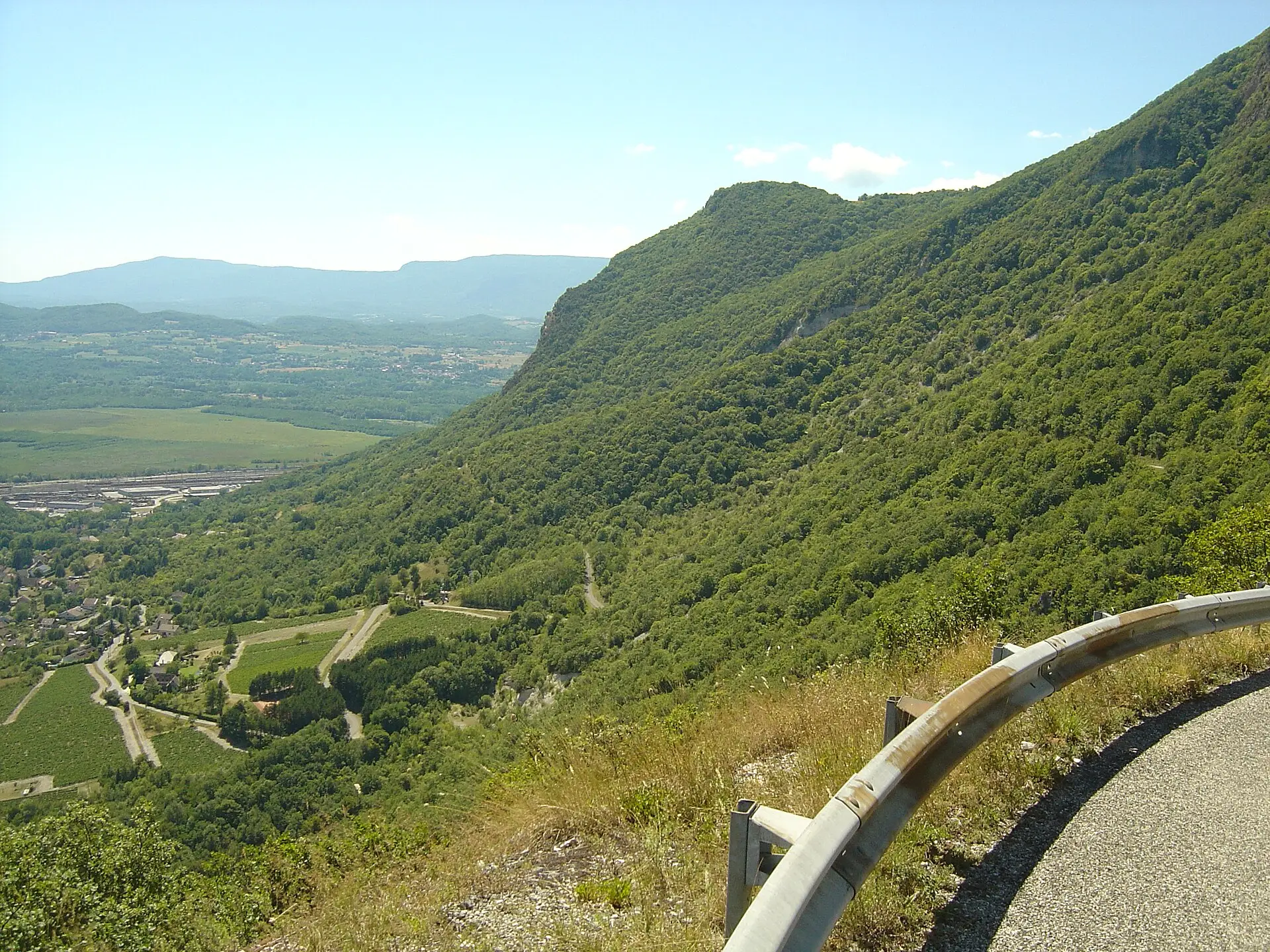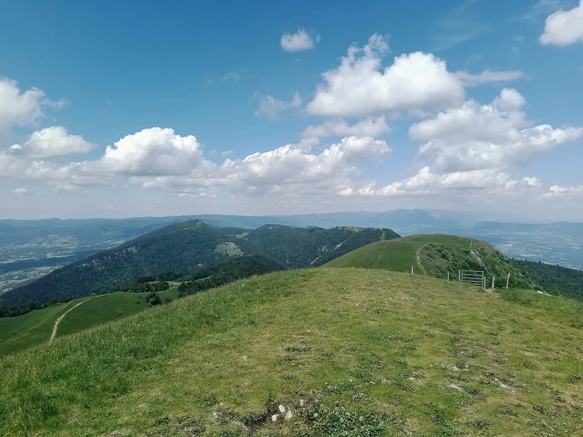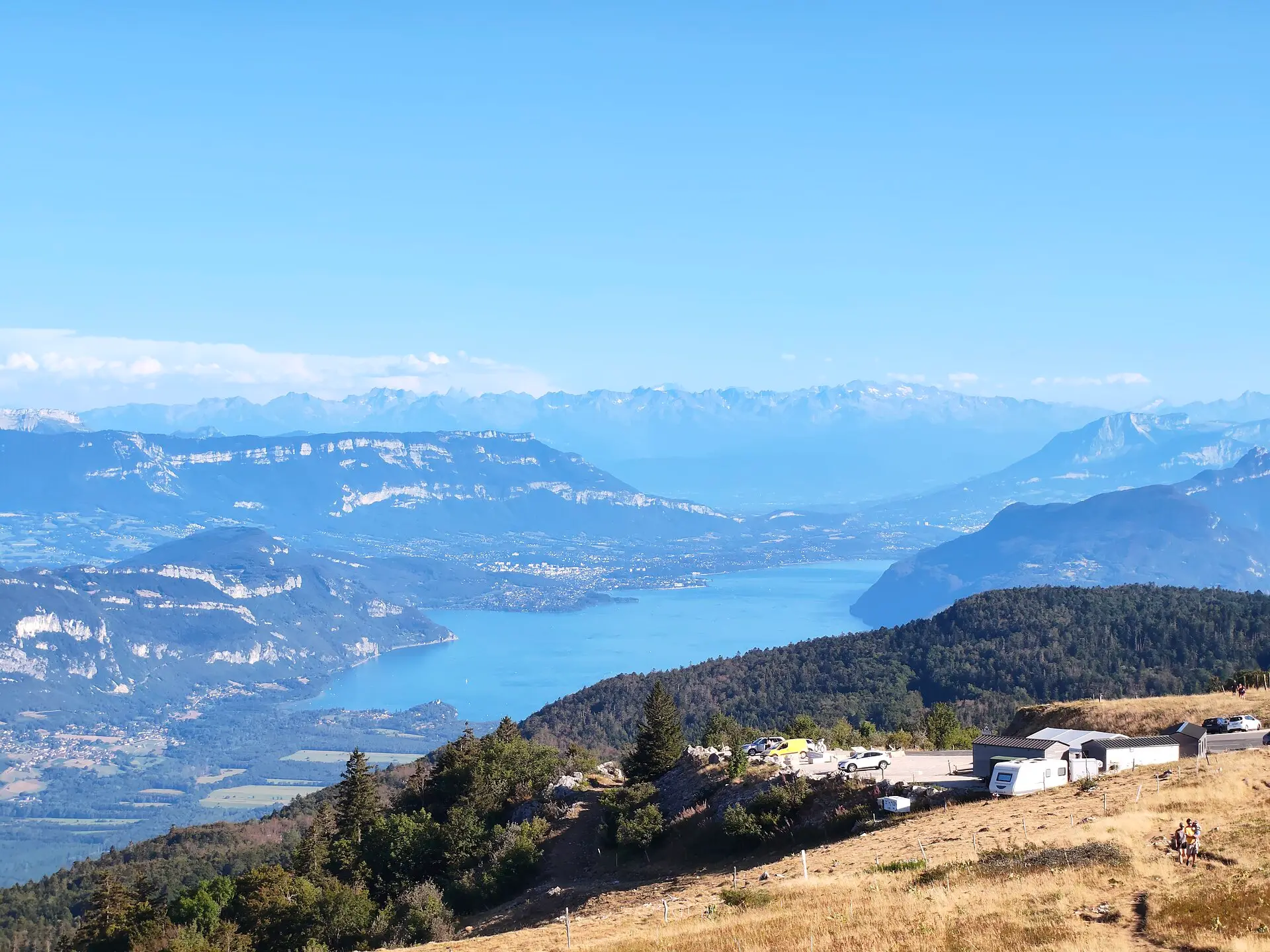
The Grand Colombier towers over the whole of Southern Bugey (Bugey Sud). This summit in the Jura range overlooks the Rhône valley, Lac du Bourget and, on its western side, the Valromey. It is at once a road pass, a mountain of summer pastures and a famous cycling climb, regularly used by the Tour de France.
This page brings together what you need to know before going up: altitude, roads, winter closure, the Tour de France and the site rules. Two pages go into detail on activities: cycling the Grand Colombier, side by side, and walks on the Grand Colombier.
How high is it?
The published figures are not identical, and the summit needs to be distinguished from the pass.
| Point | Altitude | Source |
|---|---|---|
| Summit | 1,531 m | Bugey Sud Grand Colombier tourist office |
| Summit | 1,534 m | Wikipedia, citing the IGN map |
| Cross and viewpoint indicator | 1,525 m | Ain Tourisme |
| Road pass | 1,501 m | Tourist office (2027 Tour de France listing) |
| Fenestrez viewpoint | 1,150 m | Ain Tourisme |
The sources do not explain the 3 m difference between the tourist office and the IGN map (IGN is France’s national mapping agency). We give both values and say where each comes from. Either way, the tourist office presents the Grand Colombier as the highest point of the Bugey.
From the car park at the pass, the round trip to the viewpoint indicator (table d’orientation) at the foot of the Cross takes about 20 minutes according to the tourist office. On a clear day, Ain Tourisme and Montagnes du Jura mention views of the Alps, Mont Blanc, the Rhône and the lakes of Le Bourget, Annecy and Geneva (Lac Léman).
The four access roads
Four roads lead to the pass. According to the tourist office, they start from:
- Culoz, via the hairpin bends above the town;
- Anglefort;
- Virieu-le-Petit, above Artemare, the steepest road;
- Lochieu, from Champagne-en-Valromey, on the Valromey side.
Virieu-le-Petit and Lochieu are now part of the commune (municipality) of Arvière-en-Valromey. Distances and climbs for each side are detailed on our cycling page, linked above.
Motorhomes and long vehicles
Motorhomes are allowed outside major events, with restrictions. The tourist office strongly advises against going up via Virieu-le-Petit. It also points out that the hairpin bends above Culoz are narrow and recommends Anglefort or Lochieu for long vehicles.
Parking and facilities
There is a large car park at the pass, available except during major events such as the Tour de France, and access to the site is free according to Ain Tourisme. The tourist office states that there are no toilets and no drinking-water points on the massif, where water is scarce. It mentions a snack bar at the pass, “La Pause du Grand Colombier”, without giving its opening periods.
Winter road closure
The general rule
The four Grand Colombier roads are closed in winter by the roads department of the Département de l’Ain (the county-level authority). According to the tourist office, the closure runs in principle from November to the second half of April. The exact date changes every year depending on snow.
Winter 2025-2026
According to the tourist office, the Grand Colombier and Col de la Biche roads were closed on 19 November 2025. Reopening had been announced for 27 March 2026, if conditions allowed; in the end it only happened on 17 April 2026.
Winter 2026-2027
As of 9 November 2026, no official closure date had been published on the pages we consulted. Ain Tourisme showed an opening period from 15 April to 15 November 2026, but this is a tourist indication, not an official road order. Before driving up in November, check the Département de l’Ain’s road information or the tourist office’s cycling page.
In winter, the massif can be explored on snowshoes or cross-country skis from the Sur Lyand Nordic area, according to Montagnes du Jura. For driving in the area, the tourist office points out that winter tyres or other winter equipment are compulsory from 1 November to 31 March, under France’s Mountain Law (loi Montagne).
The summer 2026 rockfall on the Culoz road
A cliff rockfall cut the Culoz road on 19 June 2026. The final time trial of the Ain Bugey Valromey Tour, a cycling race held on 14 July, had to be moved to the Anglefort side, according to info.fr. The road from Culoz has been open again since 3 September 2026 after safety work, according to the tourist office’s cycling page. As of 9 November 2026, the walks page on the same website still showed the closure notice, apparently not updated.
The Grand Colombier and the Tour de France
According to the tourist office, the Tour de France climbed the Grand Colombier in 2012, 2016, 2017, 2020 and 2023.
On Sunday 11 July 2027, stage 9 is due to finish at the summit. It will start from the Parc des oiseaux (bird park) in Villars-les-Dombes and cover 162 km with about 3,750 m of climbing, according to the listing published by the tourist office. Vehicle access will be restricted before the race; maps, times and access conditions for the final climb had not been published as of 9 November 2026. We will add the information to our events calendar as soon as it is published.
A protected site: the rules to know
The massif’s protected status
- Espace naturel sensible: the Col du Grand Colombier has been designated a protected natural site by the Département de l’Ain. According to Montagnes du Jura, these sites are managed so that they are preserved and open to the public where their fragility allows, with a charter for sharing the space between users.
- Natura 2000: the massif is part of site FR8201642, “Plateau du Retord et chaîne du Grand Colombier”, listed in France’s national natural heritage inventory (INPN). The pages we consulted do not publish visiting regulations specific to this Natura 2000 site: the instructions to follow are those of the tourist office and the ENS. As of the date we checked, we found no published quiet zone for wildlife.
- Events: the commune of Culoz publishes a charter for organising events on the Grand Colombier ENS, aimed at event organisers.
Rules on the mountain pastures
The summer pastures (alpages) are working areas for farmers and living space for the herds. The tourist office and Montagnes du Jura publish the following rules:
| Topic | Published rule |
|---|---|
| Wild camping | Not allowed on the pastures |
| Dogs | On a lead at all times |
| Fences and gates | Close them behind you |
| Herds | No sudden movements; walk around cows standing on the path |
| Shepherd’s hut | Private property, to be respected |
| Paths | Stay on waymarked paths |
| Litter | Leave no trace |
| Flowers | See below |
Picking flowers: conflicting advice. The tourist office’s walks page and the Montagnes du Jura ENS listing ask visitors not to pick wild flowers. The tourist office’s main page tolerates picking narcissi and daffodils, provided you stay on the paths and take only a small amount. As there is no single rule, the safest choice is not to pick any.
Around the Grand Colombier
At the foot of the Culoz side, our Culoz-Béon page introduces the commune and its services. On the Valromey side, our directory lists, among others, the Chez Cuzieu farm inn in Munet and the Fruitière du Valromey cheese dairy in Virieu-le-Petit. For more outing ideas, see our nature and walks guide, which also covers the Arvière charterhouse on the slopes of the massif.