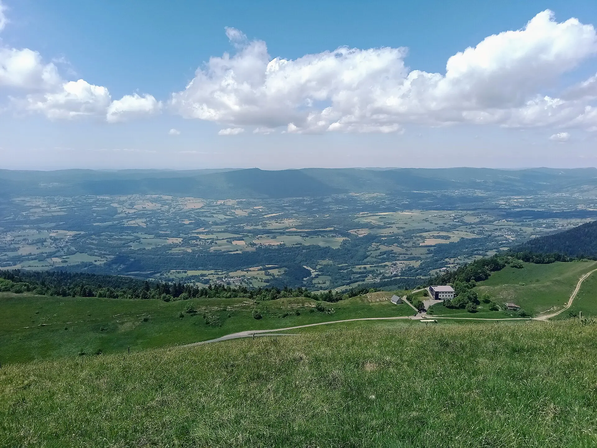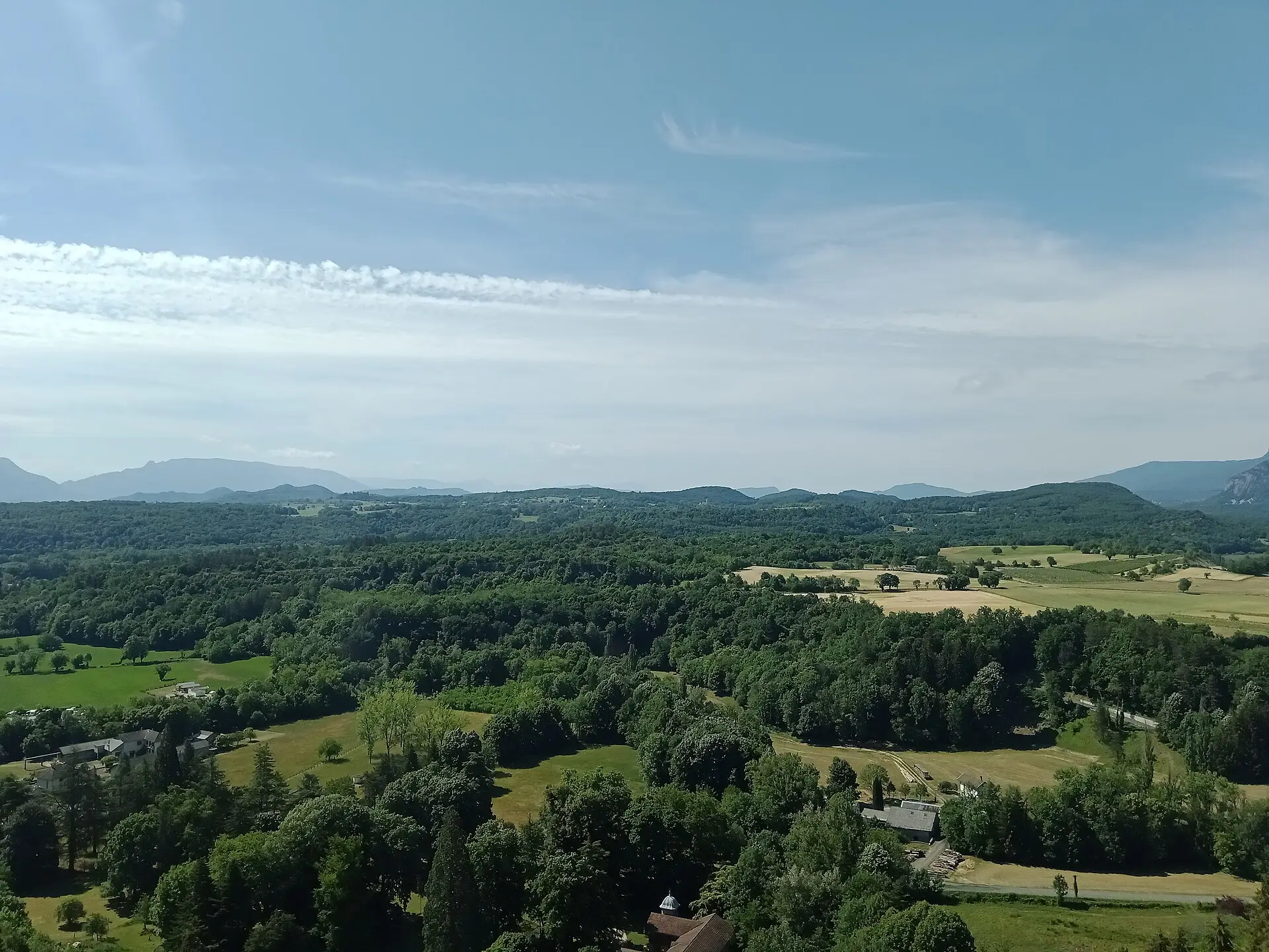
The Bugey is a natural and historical region of the Ain, a département (the French administrative level roughly comparable to a county) in eastern France. It forms the southern tip of the Jura mountains, bounded by the Rhône to the east and south and by the river Ain to the west. Bugey360 follows its southern part: the Bugey Sud community of communes around Belley, and the Valromey. This page sets out the basics of the area and points to each section of the site.
Bugey, Bas-Bugey, Haut-Bugey and Valromey
Geographers distinguish two broad areas. The Haut-Bugey (Upper Bugey) covers the north. The Bas-Bugey (Lower Bugey), in the south, roughly matches the arrondissement of Belley, a State administrative district. Between the two, the valley of the Séran forms the Valromey, a small country (pays) that had its own identity.
History explains these divisions. The Bugey passed to the House of Savoy in 1077. It became French under the Treaty of Lyon of 17 January 1601, together with the Valromey and the Pays de Gex, in exchange for the marquisate of Saluzzo, which was ceded to the Duke of Savoy. Belley, the historic and religious capital of the Bugey, then became the seat of a bailiwick attached to the province of Burgundy. Today the town is a sub-prefecture of the Ain, meaning it hosts a local branch of the State administration.
These definitions come from encyclopaedic sources (Wikipédia, the Historical Dictionary of Switzerland) and from tourism sources: we have not found any official administrative boundary for “the Bugey”.
What Bugey360 covers
The site focuses on ten municipalities (communes), each with its own page in the guide to the towns and villages: Belley, Culoz-Béon, Artemare, Champagne-en-Valromey, Valromey-sur-Séran, Haut Valromey, Arvière-en-Valromey, Virieu-le-Grand, Lavours and Brégnier-Cordon. Other municipalities in the grouping appear when a listing or an event concerns them: Vongnes, Contrevoz, Virignin, Cressin-Rochefort, Ceyzérieu, Pollieu, Magnieu and others.
What the site does not cover yet: the rest of the Bugey, to the north and west, and the neighbouring areas of Savoie and Isère. We will only widen the scope after an editorial decision, once we can apply the same verification method there.
The four sectors
| Sector | Municipalities covered | Landmarks |
|---|---|---|
| Belley and the Rhône | Belley, Virieu-le-Grand, Brégnier-Cordon | Sub-prefecture, cathedral, Glandieu waterfall, ViaRhôna cycle route |
| Valromey | Artemare, Champagne-en-Valromey, Valromey-sur-Séran, Arvière-en-Valromey | Séran valley, Cerveyrieu waterfall, Fruitière du Valromey cheese dairy |
| Grand Colombier and the marshes | Culoz-Béon, Lavours | Grand Colombier climb, Lavours marsh, Culoz station |
| Retord plateau | Haut Valromey | Plans d’Hotonnes, cross-country skiing, mountain pastures |
The Valromey has a page of its own: what to see and do in the Valromey.
The Bugey Sud community of communes
A community of communes (communauté de communes) is a grouping of neighbouring municipalities that pool services. Created in 2014, the Bugey Sud grouping has 41 municipalities according to its official website. Older documents give 43, 47 or 50: the difference comes from successive mergers, which created “new municipalities” (communes nouvelles) such as Culoz-Béon, Valromey-sur-Séran, Arvière-en-Valromey and Haut Valromey. The combined municipal population is 34,086 (INSEE, 2023 figures); the grouping itself announces “more than 35,000 inhabitants”.
Its responsibilities include planning, economic development, waste collection, tourism, transport, water and sewerage, and it runs facilities such as the Belley swimming centre. Its offices are moving in November 2026: see our page on public services in Southern Bugey (in French), at /vivre-dans-le-bugey/services-publics/.
Since 2024 the area has been a candidate for the Pays d’art et d’histoire label, a national heritage designation. The process is ongoing; the label has not been awarded.
The Bugey Sud Grand Colombier tourist office
The intercommunal tourist office is called Bugey Sud Grand Colombier. Its main office, open all year, is at 34 Grande Rue in Belley. It also has a seasonal office at the Plans d’Hotonnes, the Maison des Plans, and an occasional desk at the Maison du vélo (cycling centre) in Culoz. Opening hours change with the season and sources disagree: check the tourist office’s contact page before you go.
Bugey360 is an independent media outlet: we are neither the tourist office nor a local authority.
Getting there and getting around
By train
Two stations serve the area, according to the community of communes:
- Culoz station, the only one with a staffed ticket office, linked by TER (regional trains) to Lyon, Chambéry, Geneva, Annecy, Grenoble and Valence;
- Virieu-le-Grand–Belley station, with ticket machines only, on the lines towards Lyon (via Ambérieu) and Geneva (via Bellegarde).
Belley has no railway station. Connections and linking coaches are covered in our guide to getting around Southern Bugey.
By coach
Five regional coach lines leave from Belley: A73 to Chambéry, A43 to Culoz, A45 to Virieu-le-Grand and Champagne-en-Valromey, A47 to Hauteville, A93 to Morestel. Some run as on-demand services, which must be booked in advance.
The main sections of the site
- Mountain: the Grand Colombier, the highest point of the Bugey, with its roads and trails.
- Nature: waterfalls, Lavours marsh, lakes and the Retord plateau in nature and walks.
- Towns and villages: the ten municipality pages, with town halls, services and heritage.
- Eating and sleeping: restaurants in Southern Bugey and places to stay, drawn from the directory.
- Wine: the appellation and its cellars in Bugey wines.
- Everyday life: markets, transport, health and services (section in French).
- Going out: the events calendar and local news.
The Bugey power station is not in Southern Bugey
A search for “Bugey power station” leads to EDF’s Bugey nuclear power station, located at Saint-Vulbas, on the Ain plain, beside the Rhône. Despite its name, it lies outside the area covered by Bugey360: Saint-Vulbas belongs to the Plaine de l’Ain community of communes, not to the CC Bugey Sud. According to EDF, four 900 MWe reactors are in operation there, commissioned in 1978 and 1979; the first reactor, Bugey 1, has been shut down since 1994 and is being dismantled. For any information about the site, the source to consult is EDF.